Recent Article: How did you calculate that buffer?

How did you calculate that buffer?
In-field, no spray zones (e.g., herbicides), also called 'buffers', are specified on almost all crop protection product labels under 'directions for use'. They are intended to protect plant and animal species that are NOT ON THE FIELD, but might be somewhere near the field.
These buffers can range from 5 ft to 1,000 ft... how are they calculated? EPA calculates these buffer distances (again, at the edge of every farmers field) using two components:
1) biological sensitivity to the product in question (for plants this might be plant survival, height, dry weight)
2) possible exposure from spray drift, airborne particles that are carried from the field to adjacent areas downwind.
Regulatory-required compliance studies are conducted to determine the biological sensitivity of terrestrial and aquatic species. Unfortunately, in an attempt to introduce 'conservatism' into the non-target plant study, the EPA study guidance for determining plant sensitivity requires a direct, over-the-top spray to a variety of plants to determine a potentially problematic effect to those plants. In essense, the EPA guidance envisions that OFF-FIELD plants will experience exposure from airborne drift as if they were being directly sprayed from above. This idea is illustrated in the top panel of the conceptual illustration of 'REGULATORY'. The bottom illustration, titled "REALITY" is how off-field plants actually experience airborne exposure from spray drift. Several detailed field studies that I have been directly involved with on the science side address this problem by providing a framework to assess plant effects and exposure in a realistic, yet conservative fashion (See Publications Page of this site).
This illustration was originally included in a Linked In article was posted and written by Richard Brain and illustrated by me, Daniel Perkins
Recent Article: What's on the menu for farmers? Mitigations.

What’s on the menu for farmers? Mitigations…
U.S. farmers are under increasingly more pressure to provide food. Pressure to use certain crop protection products will be changing under new rules that the USEPA is making related to endangered species. The coming trend is: farmers must 'qualify' to use herbicides by incorporating several conservation practices (also called MITIGATIONS) from a list USEPA has provided (e.g., contour farming, cover cropping, grassed waterways, mulching with natural materials, no-till, riparian buffer zones, strip cropping, terrace farming, vegetative filter strips and field borders, and ponds for water and sediment control). In theory, this sounds like it could provide a way to further protect endangered species; however, there are a few problems: 1) there is no evidence that these practices provide meaningful protection to endangered species, 2) some practices are not possible or relevant to certain geographies and crop types, and 3) financial cost of implementing such practices may not be feasible in some cases. Thus, if farmers aren't able to qualify to use an herbicide to prepare for a crop, their next option is mechanical tillage of weeds. And while tillage is often a sound strategy for some fields, it can results in unwanted runoff of fertilizer, chemicals, and sediment. USEPA may be regulating in a new problem while trying to solve another.
This illustration is intended to convey that there is a disparity between mitigating risk to endangered species in one hand and lowering risk to those species.
This illustration was originally included in a Linked In article was posted and written by Richard Brain and illustrated by me, Daniel Perkins
New peer-reviewed article drops: the Shrinking Land challeng

Conceptually, imagine a vice where on one end there is demand for urban expansion (roads, buildings, industry/commerce, neighborhoods, etc.), on the other end there is societal demand for conservation (“listed” species protections, rewilding of farmlands, mitigations, etc.), and in the middle, being increasingly squeezed, exists the agricultural landscape of America. You can now frame the shrinking land challenge. America’s farmland is shrinking while the urban landscape is expanding, and calls for preservation are growing increasingly louder. Land is finite, and once crops are converted to concrete the land is irrevocably changed. Technology has manifested an abundance of food; however, technology (e.g., genetically modified crops, pesticides, fertilizers, etc.) is also experiencing enhanced scrutiny as the frontier of agriculture inevitably converges with the aspirational boundaries of conservation. Unfortunately, few people are aware of the delicate policy intersection of
Services - creatively communicating science and information
Videography
Applied Science and Innovation
Applied Science and Innovation
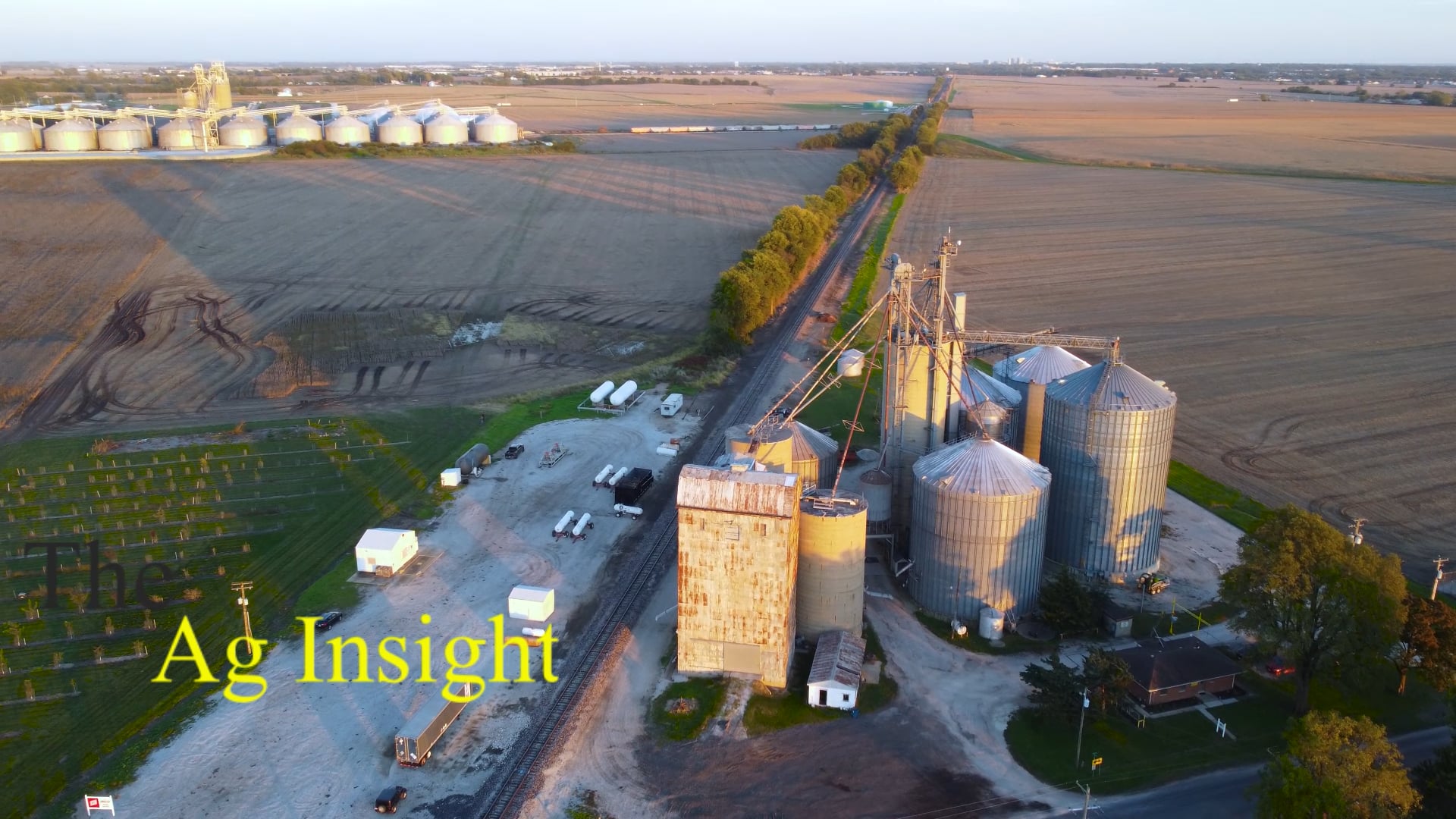
We offer videography services to help you develop compelling narratives.
Applied Science and Innovation
Applied Science and Innovation
Applied Science and Innovation

Innovative science and technology services in agriculture in areas of: GIS, numerical simulations, data analysis, and web-based tool development.
Web-based Tools
Web-based Tools
Web-based Tools
We offer basic web-based tools that help share data and narratives in simple, yet compelling formats.
Writing
Web-based Tools
Web-based Tools
Our services include development of white papers, peer-reviewed literature, thought/opinion pieces, and other types of written information.